
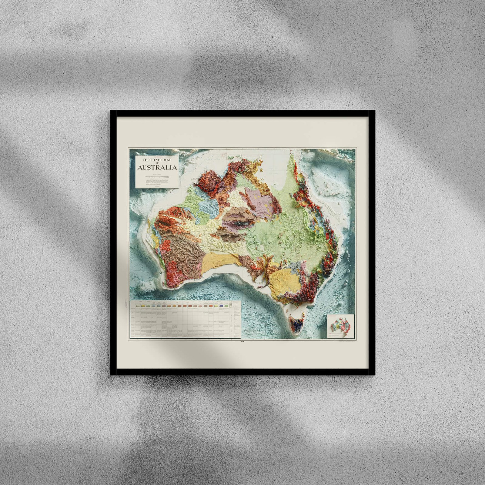
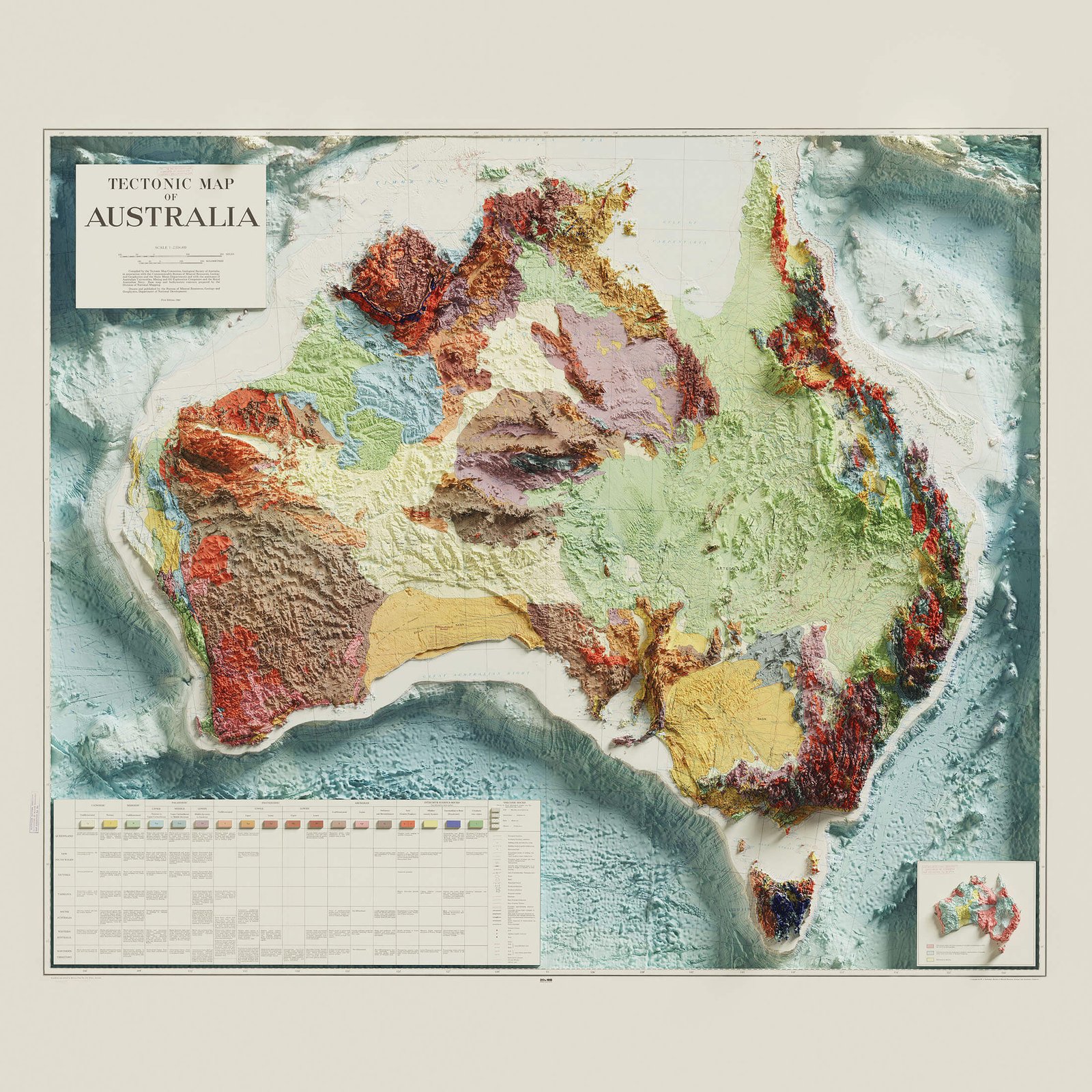
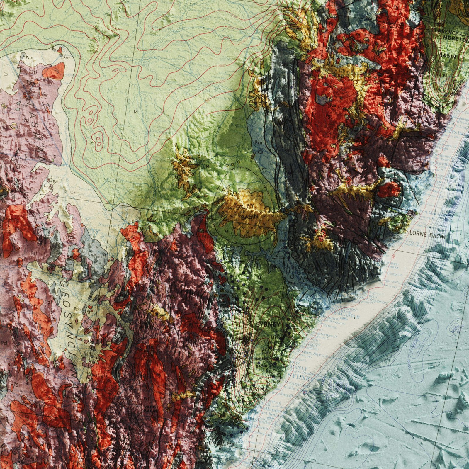
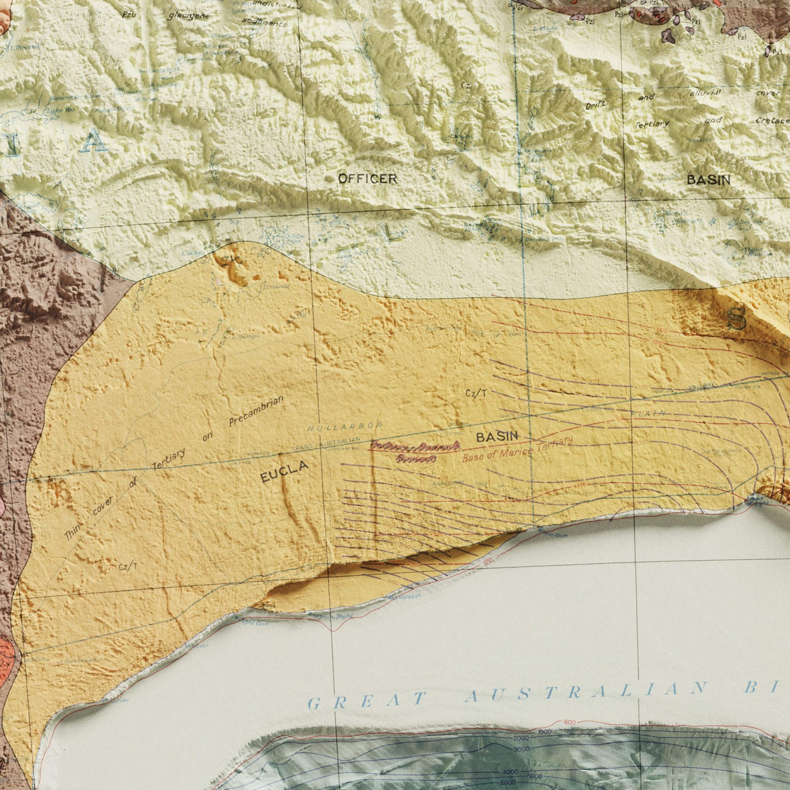
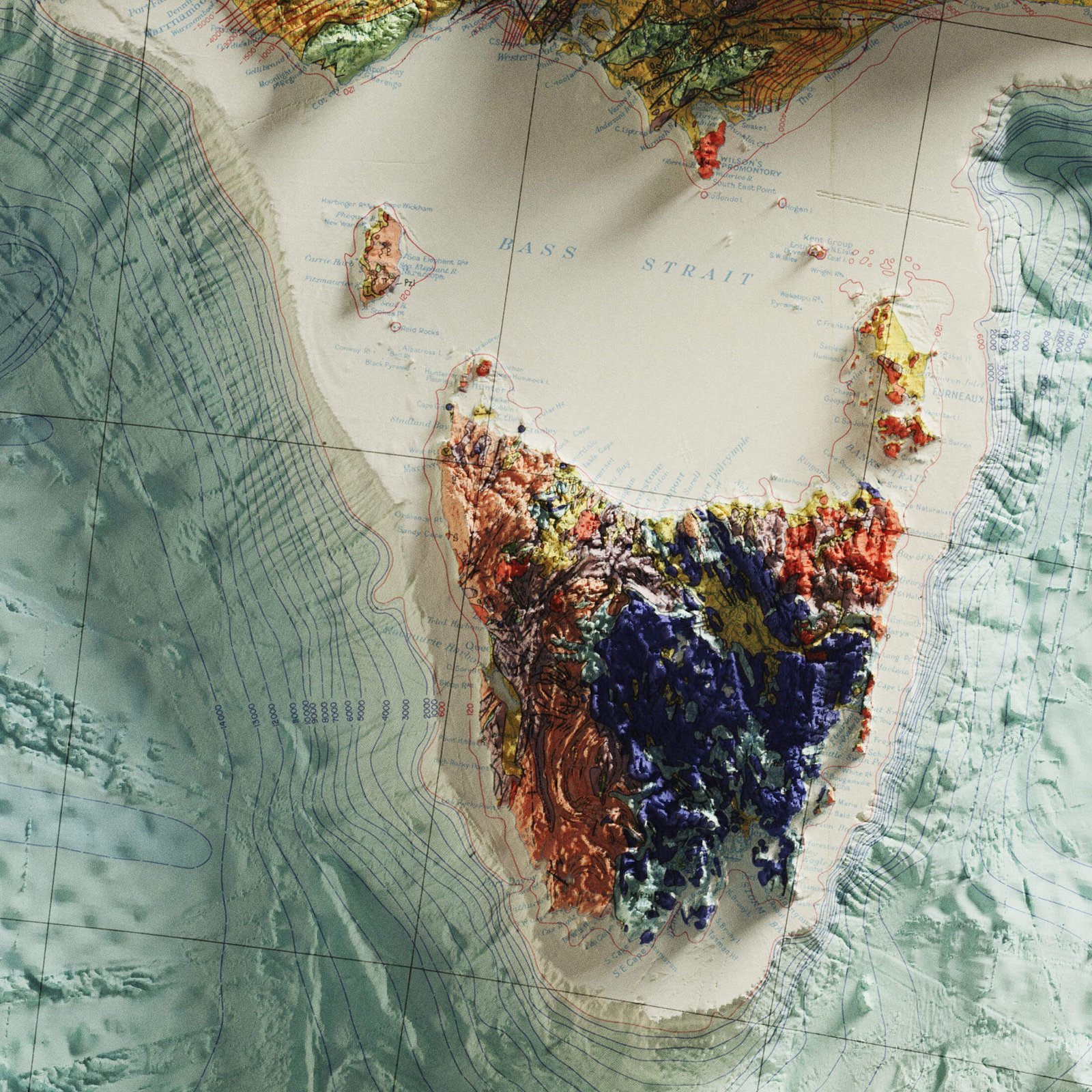
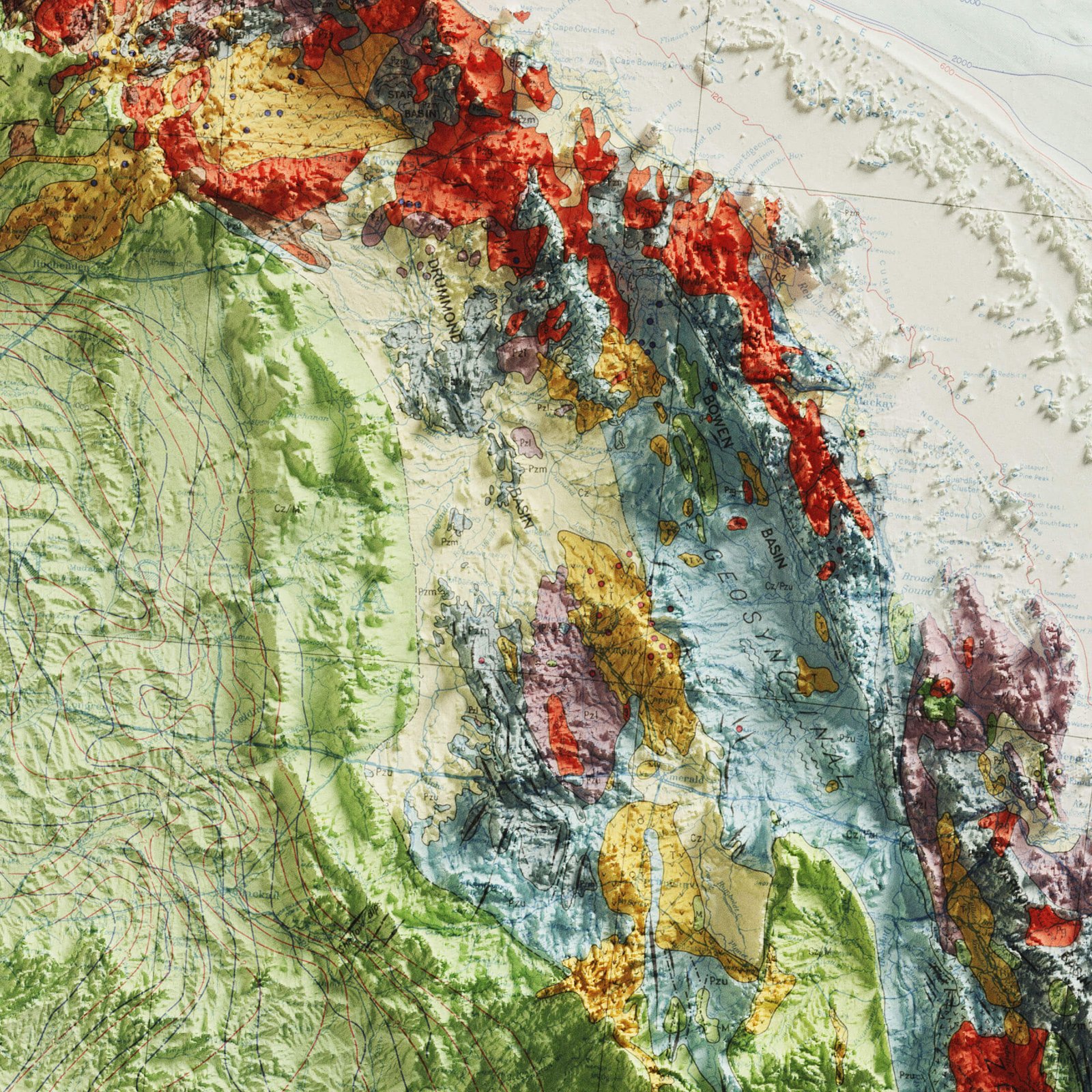
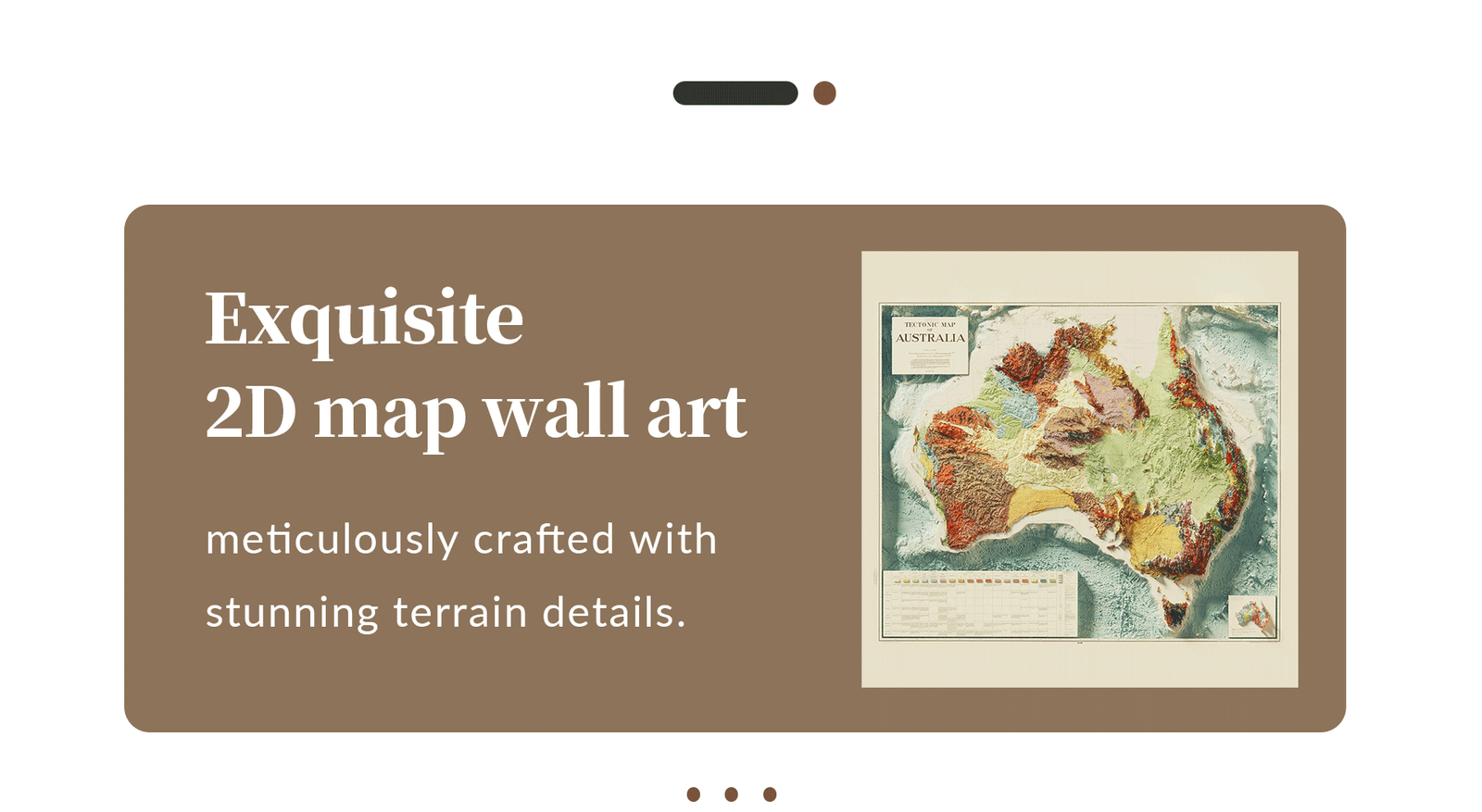
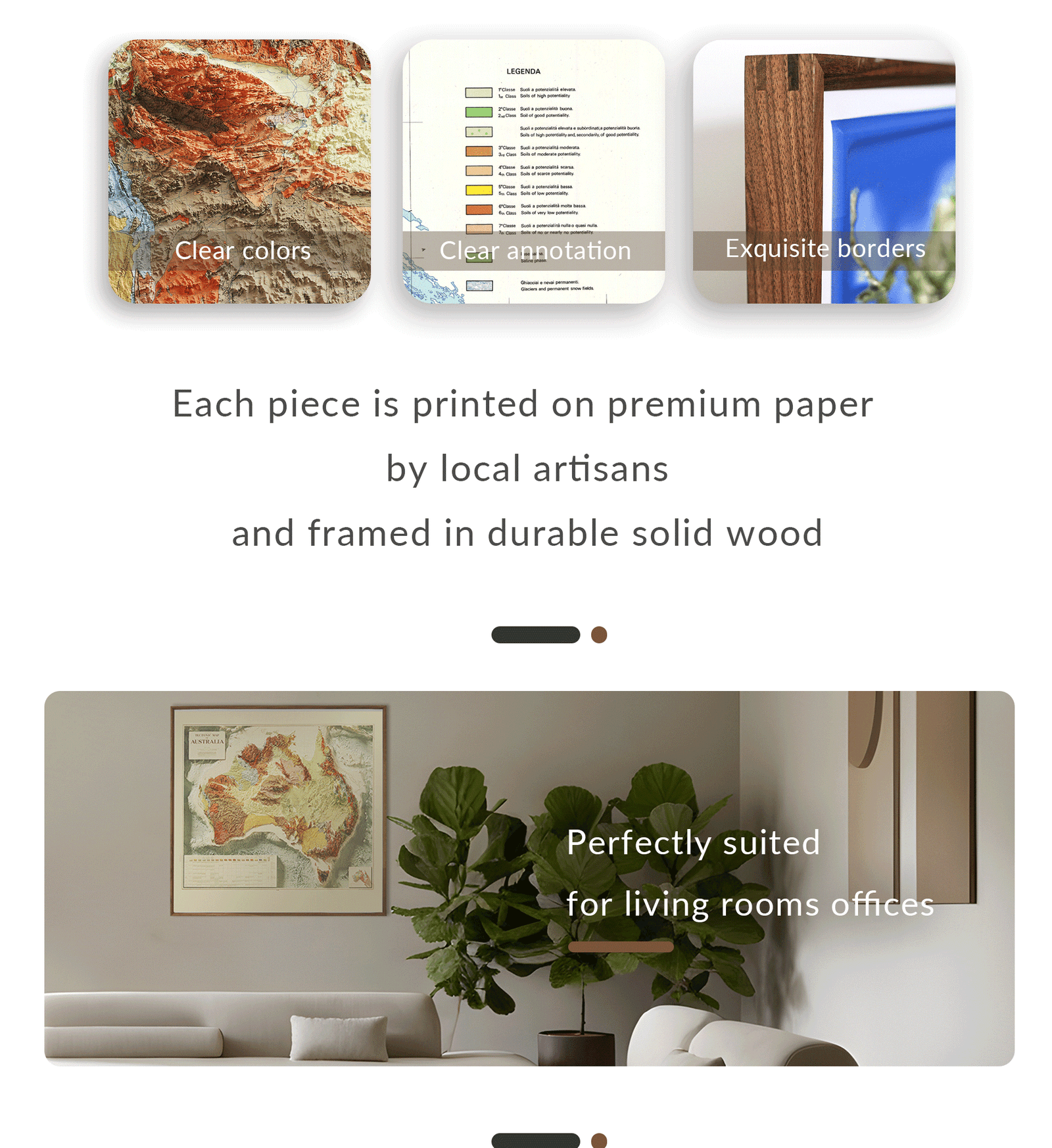
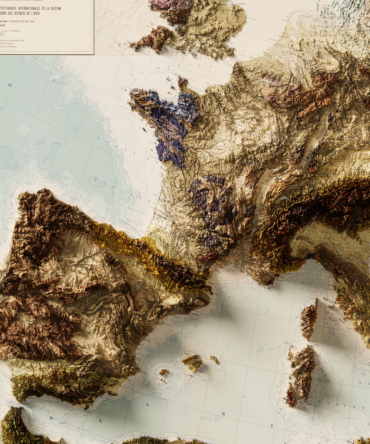
Delve into the ancient landscapes of the Australian continent with this 2D Geological Map of Australia, designed to showcase the diverse and complex geology that defines the land Down Under.
This detailed Earth science poster includes clearly labeled cratons, orogenic belts, sedimentary basins, igneous provinces, and major fault lines, making it a valuable reference for both educational and decorative purposes. Whether used in classrooms, universities, offices, or home study areas, it invites curiosity and deepens understanding of Australia’s unique geological makeup.
Key Features:
-
Color-coded geological provinces across Australia
-
Highlights Precambrian shields, volcanic fields, and tectonic structures
-
Based on authoritative data from Geoscience Australia
-
Ideal for educators, geologists, students, and collectors
🎁 Perfect For:
-
Earth science education
-
Academic and scientific display
-
Gift for geology lovers or Australian history buffs
-
Unique geography wall art
Bring the story of Earth’s oldest landforms into focus with this high-quality map of Australia’s deep-time history.

Reviews
There are no reviews yet.