


Nachricht
-
How to Explore USA Topographic Maps Online
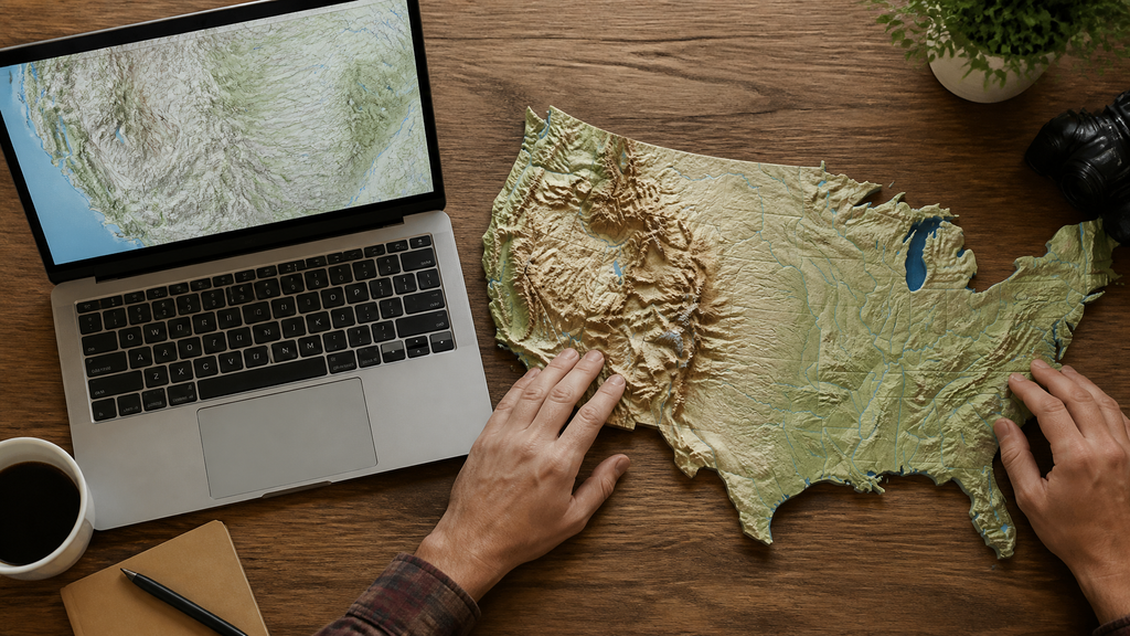 Topographic maps translate the three-dimensional contours of the land into a language of lines, colors, and symbols. For hikers, geologists, or anyone curious about the shape of the country, these maps offer a detail that a standard road map or satellite image can’t match. Online viewers now put that rich information at your fingertips for free, making it possible to explore every ridge,...
-
What Is a 3D Raised Relief Map of the United States?
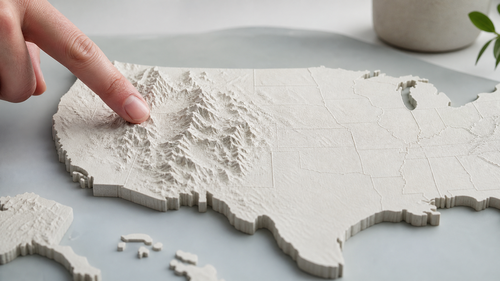 Flat maps sit behind glass or lie under a pin. A raised relief map pushes the land right up against your hand. It turns abstract contour lines into tangible ridges, valleys, and peaks—so you can feel the spine of the Appalachians or trace the Missouri River basin with a fingertip. For anyone curious about U.S. geography, one of these three-dimensional wall maps offers...
-
Why Earth’s Terrain Never Stops Fascinating Us
 From mountain ridges to deep valleys, the shape of the land has a way of making us pause, look longer, and feel something bigger than ourselves.
