


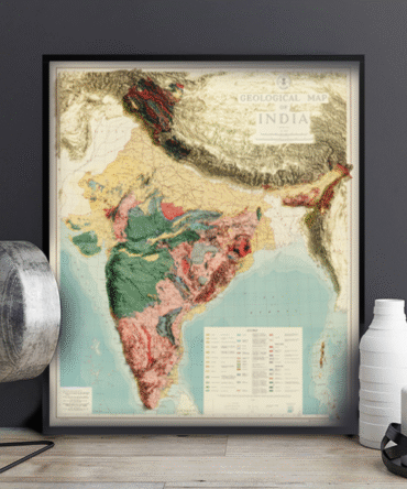
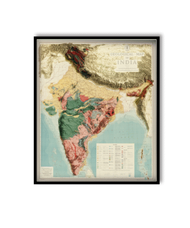
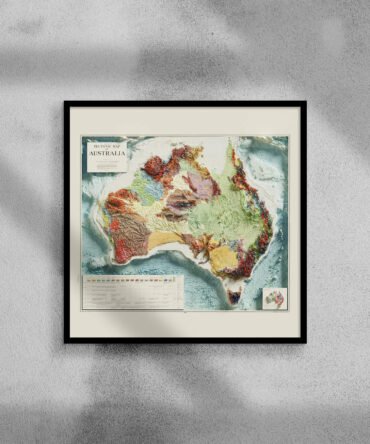
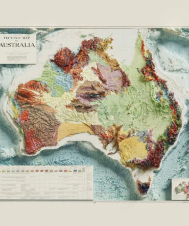
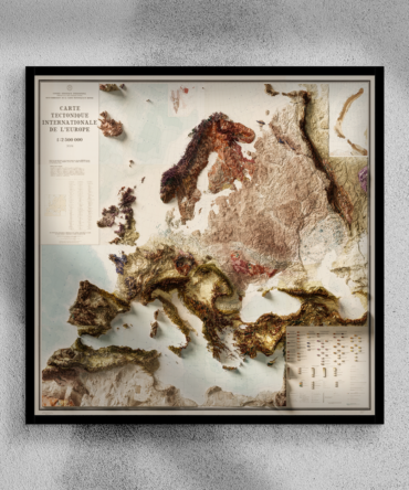
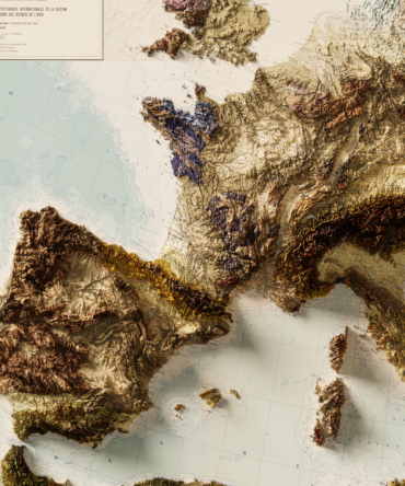
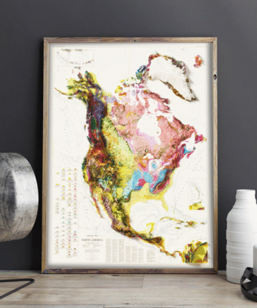
Uncover the rich geological history of a continent with this 2D Geological Map of North America. From the Canadian Shield to the Rocky Mountains and down to the Gulf Coast basins, this map visually represents the intricate structure of the Earth’s crust across North America.
With color-coded geological provinces, clearly marked tectonic plate boundaries, and major fault lines, this Earth science poster is both visually engaging and scientifically accurate. Whether you’re an educator, student, scientist, or map collector, this map will serve as an inspiring tool for understanding the vast geologic diversity of the region.
Features:
-
Displays cratons, fold belts, sedimentary basins, and igneous provinces
-
Highlights tectonic features such as the San Andreas Fault and Appalachian Orogeny
-
Compiled from authoritative geological data sources
-
Ideal for classrooms, labs, offices, or as scientific wall art
🎁 Perfect For:
-
Earth science and geology education
-
University and high school teaching
-
Scientific wall decor for offices or classrooms
-
Gift for geologists and geography lovers
Let this map bring tectonics, time, and terrain to life on your wall.


Reviews
There are no reviews yet.