


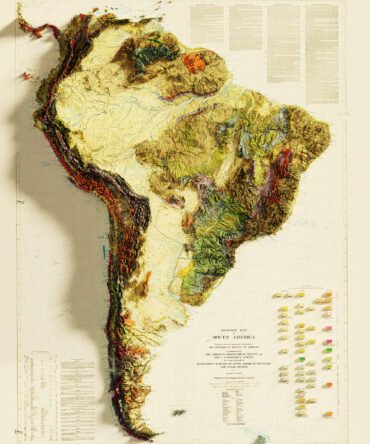
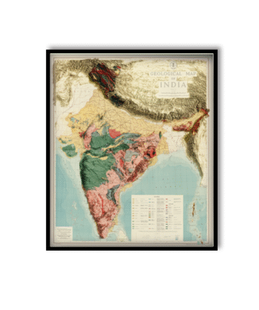
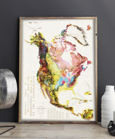
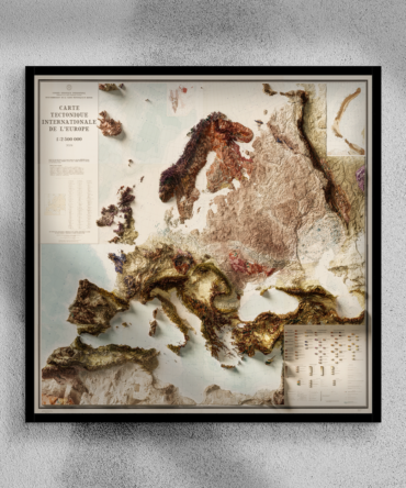
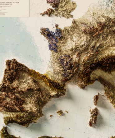
Bring the hidden layers of Britain to the surface with this 2D Geological Map of the United Kingdom. Meticulously designed using real geological survey data, this poster shows the U.K.’s diverse geological formations—sedimentary basins, igneous intrusions, metamorphic zones, and major fault lines—in vivid, easy-to-read detail.
Whether you’re an educator, student, geologist, or interior design enthusiast, this scientifically accurate print adds both beauty and knowledge to any space.
Key geological details displayed:
Rock ages and types color-coded for clarity
National fault systems and tectonic divisions
Includes England, Scotland, Wales & Northern Ireland
Based on BGS (British Geological Survey) data standards
✅ Why you’ll love it:
Excellent for STEM education and Earth Science curriculum
A thoughtful gift for geologists, teachers, or map collectors
Ideal for classrooms, universities, research centers, or home offices
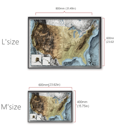
🖼️ Mounting: Ships flat or rolled – easy to frame or pin on walls


Reviews
There are no reviews yet.