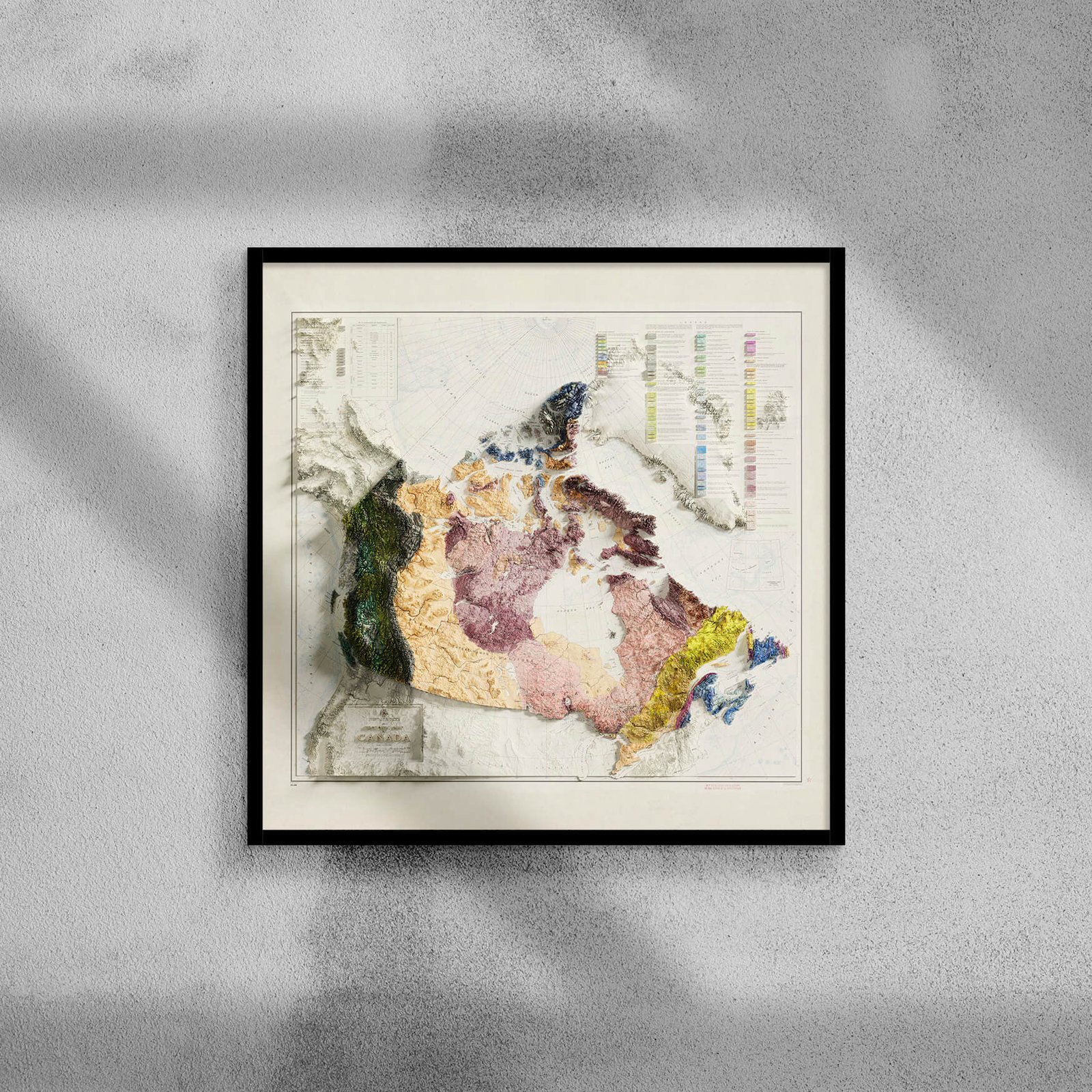
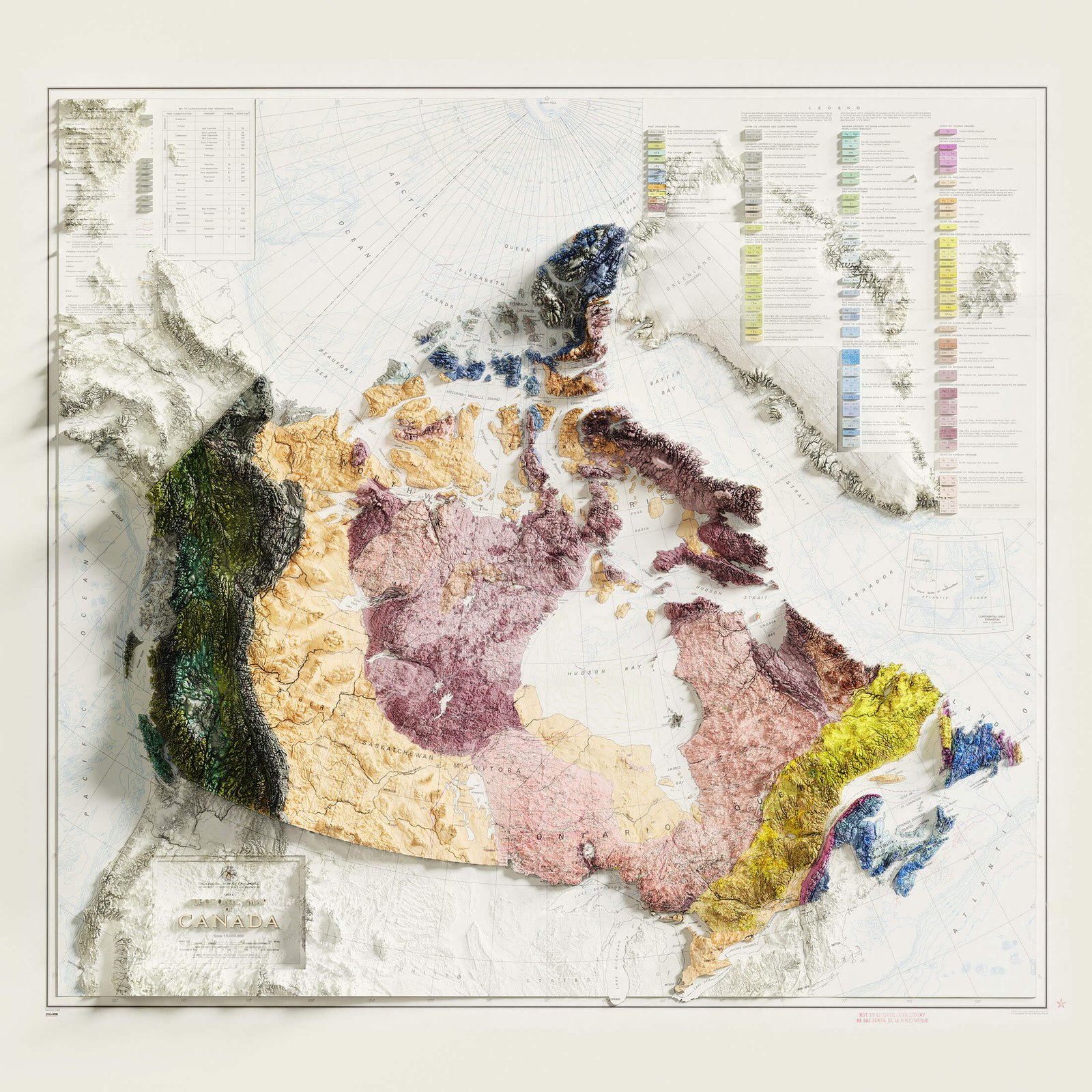
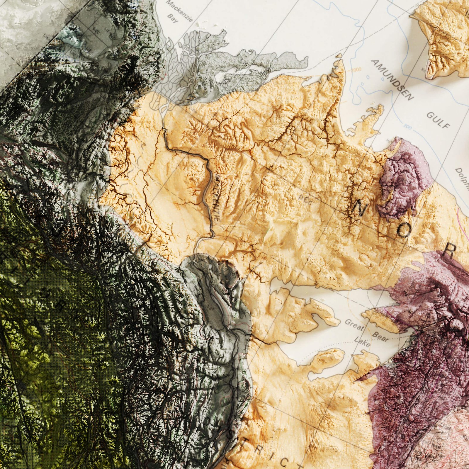
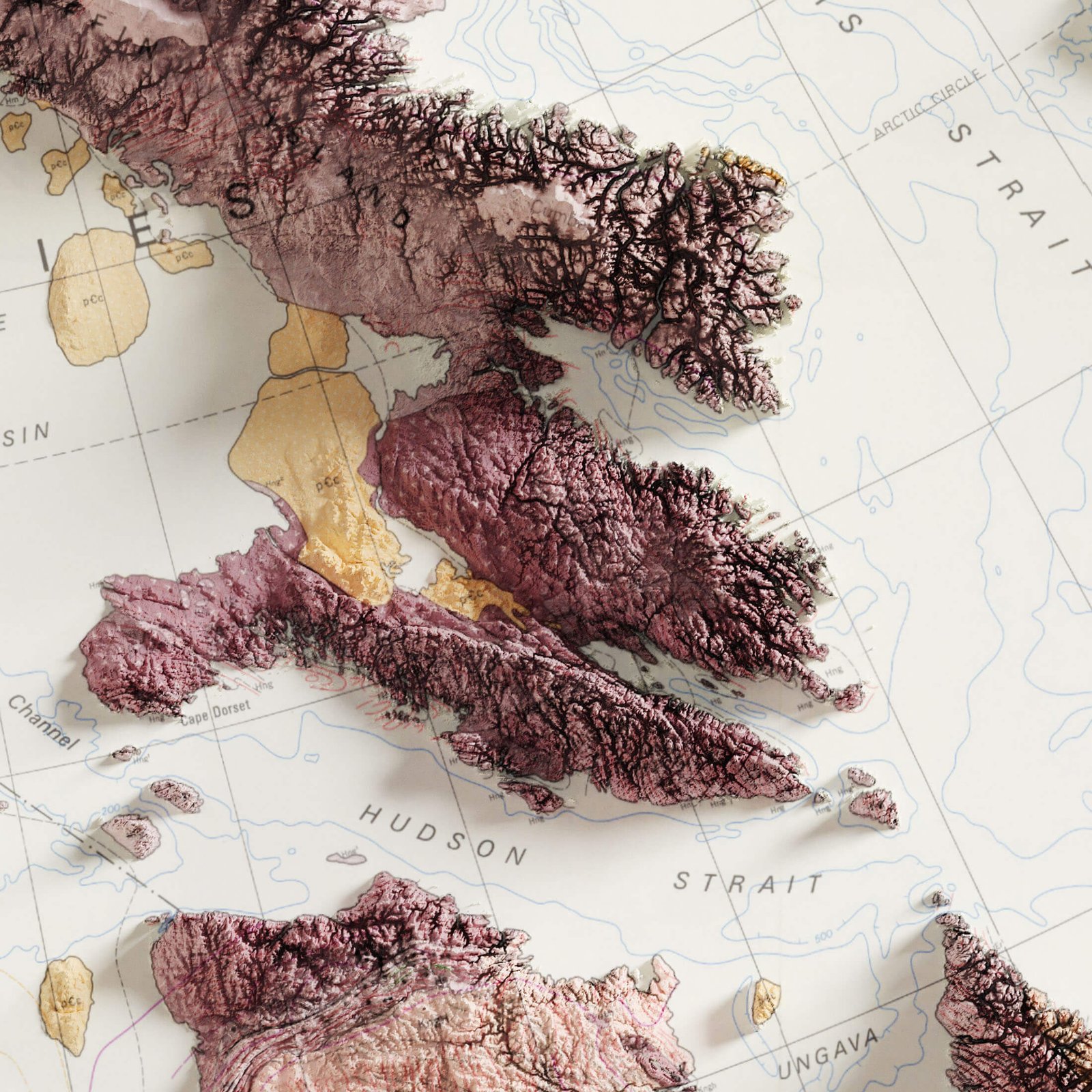
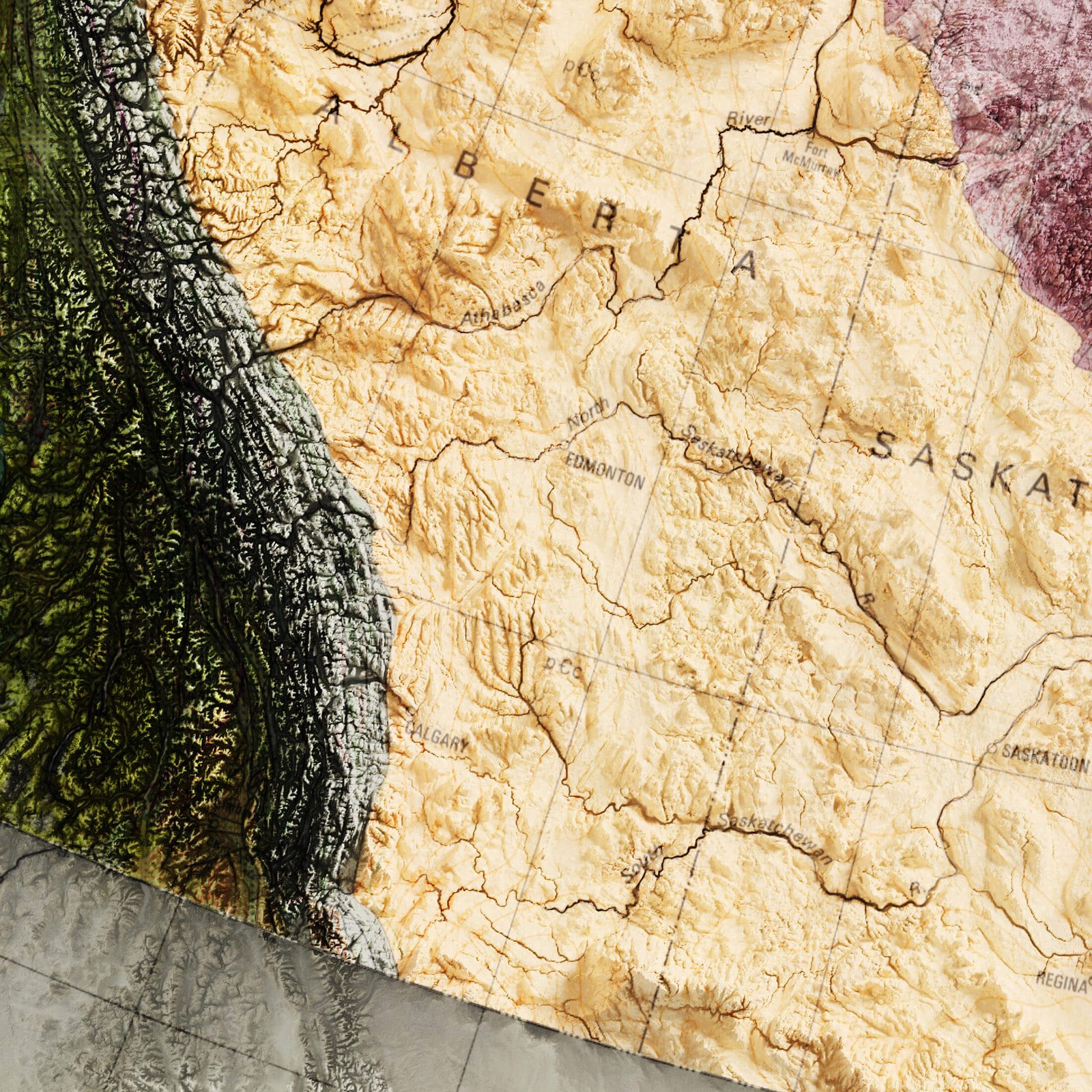
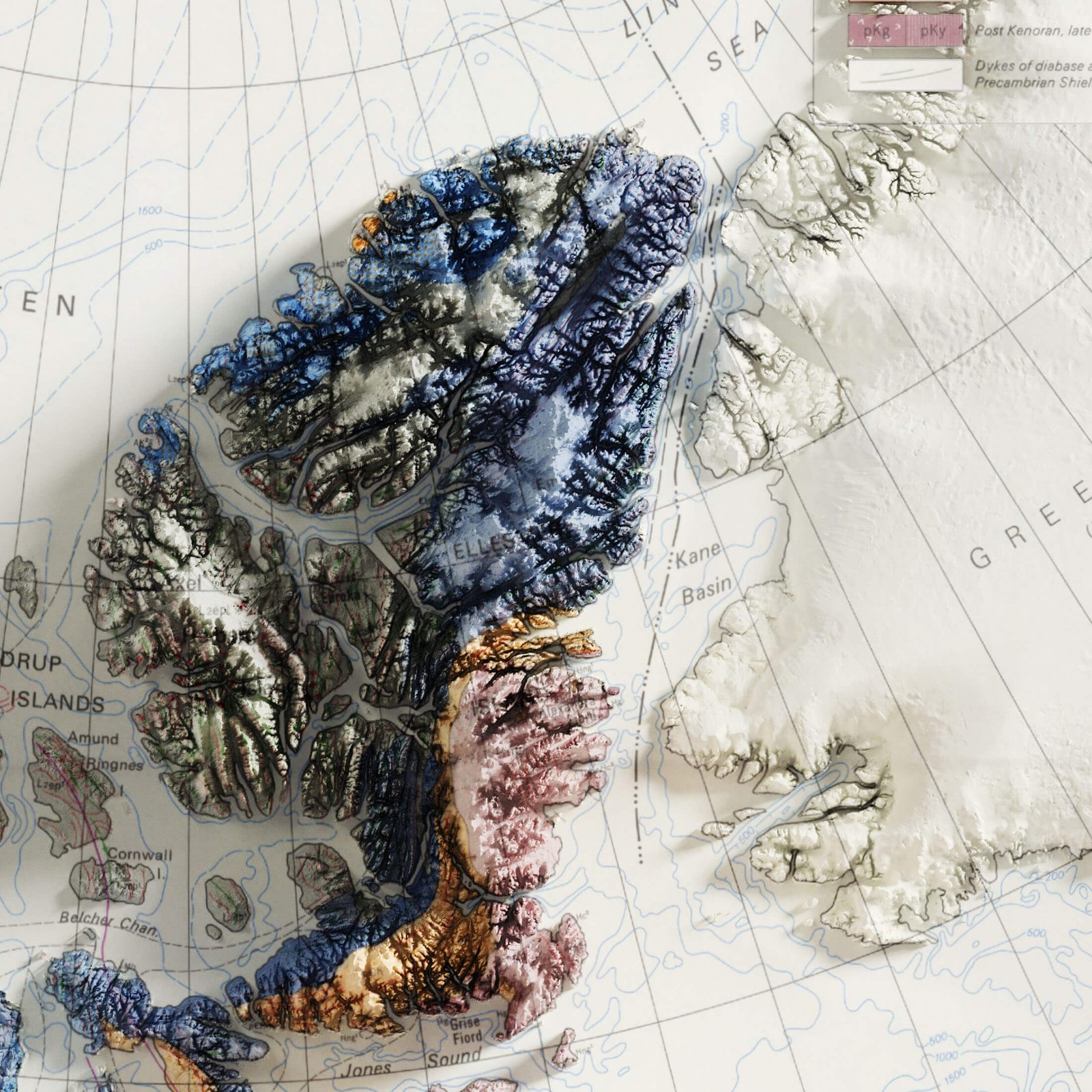
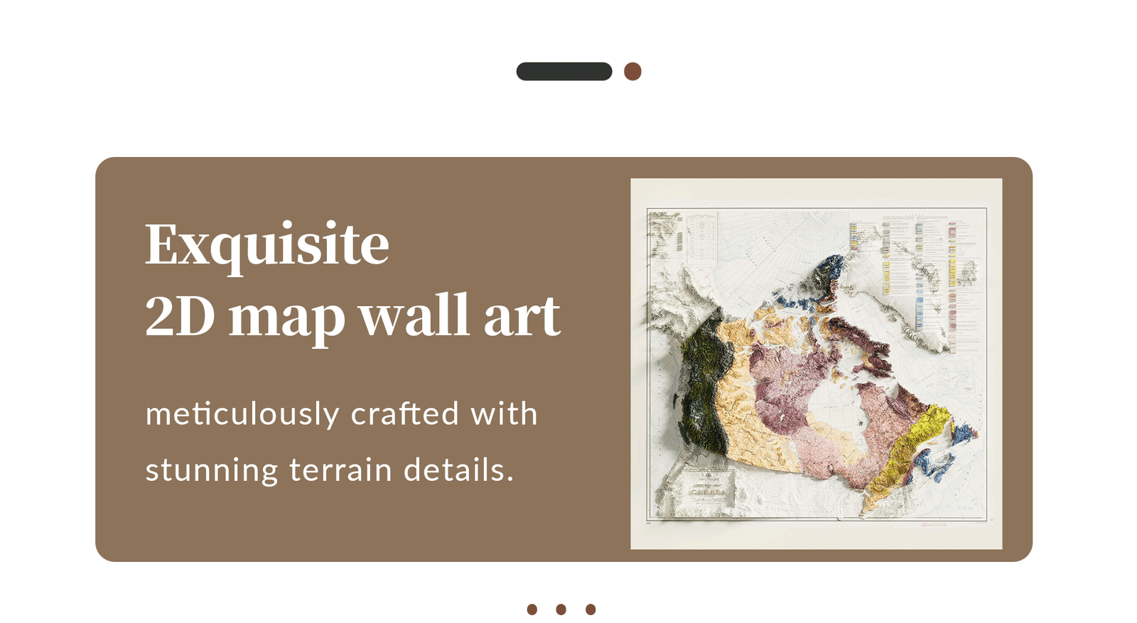
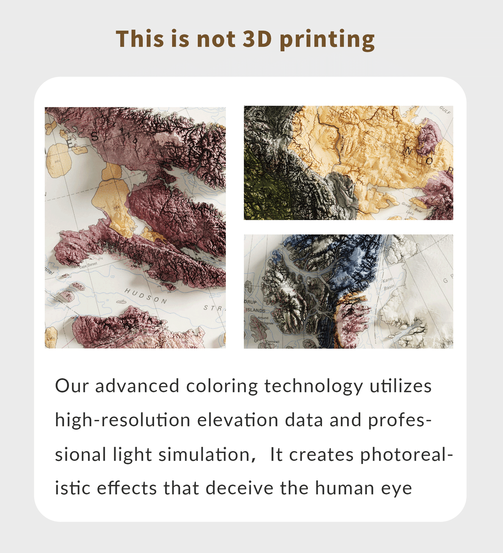
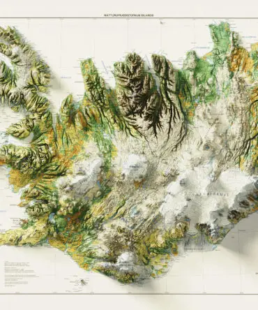
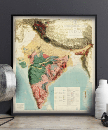
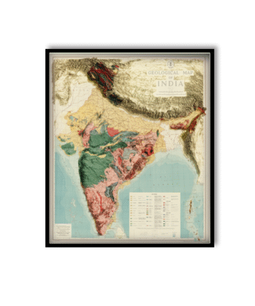
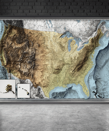
Explore the vast and varied geology of one of the world’s largest countries with our 2D Geological Map of Canada. This scientifically accurate map presents Canada’s complex geological regions—ancient shields, sedimentary basins, volcanic arcs, and major fault systems—with clear, color-coded precision.
Designed using official geological survey data, this map is perfect for educators, students, scientists, and anyone passionate about Earth science or Canadian geography.
Key features:
-
Displays major geological provinces across Canada
-
Highlights tectonic features, fault lines, and rock formations
-
Based on authoritative data from Geological Survey of Canada (GSC)
-
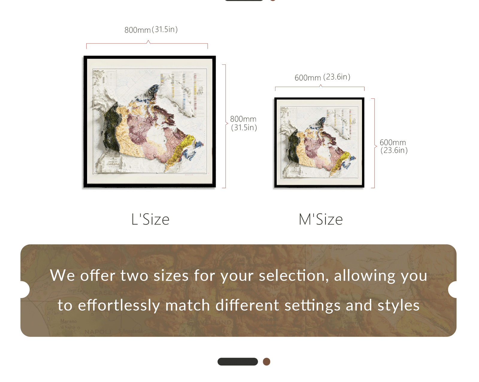
Beautiful and informative for home, school, or office use
🎁 Great for:
-
STEM education
-
Academic research
-
Science classroom wall art
-
Gifts for geologists, travelers, or geography lovers
Let this map spark exploration, inquiry, and appreciation of Canada’s deep-time history.


Reviews
There are no reviews yet.