
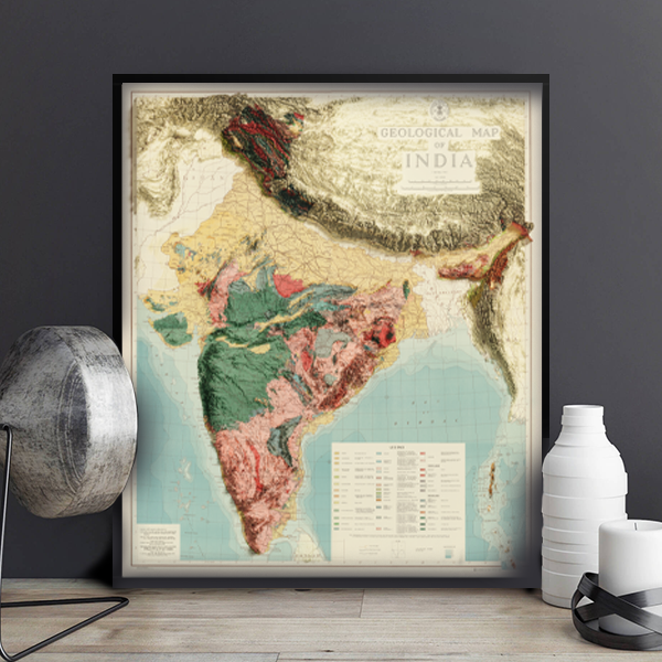
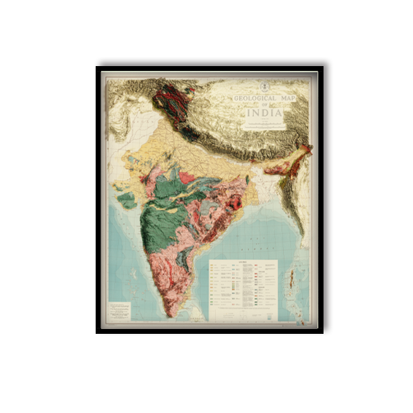
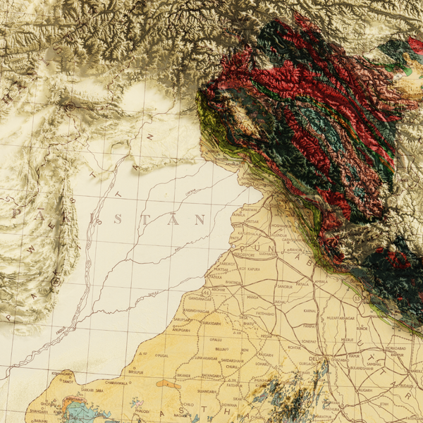
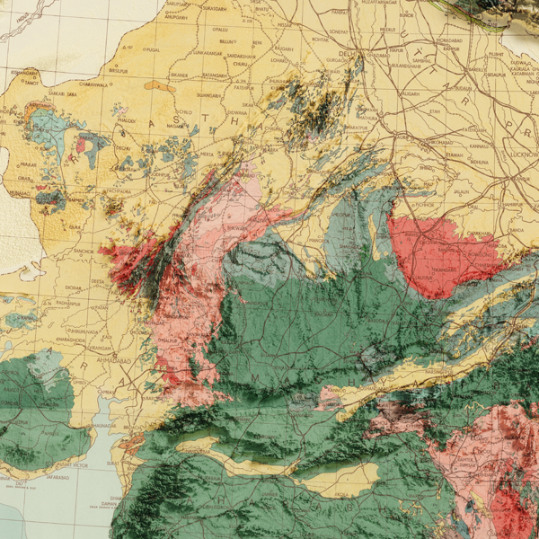
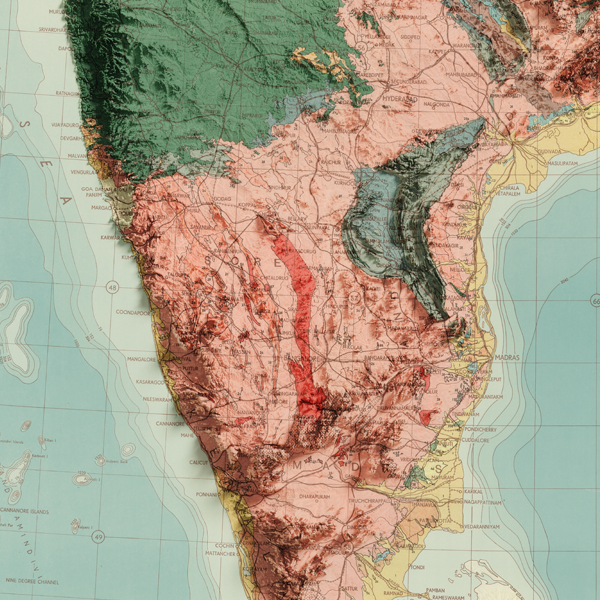
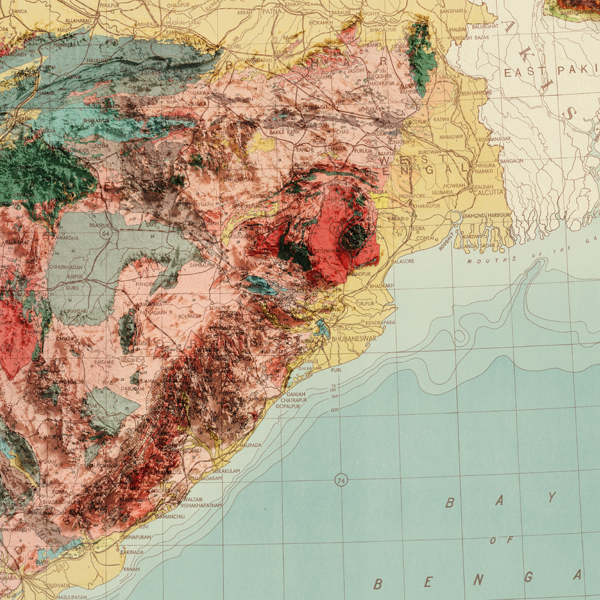
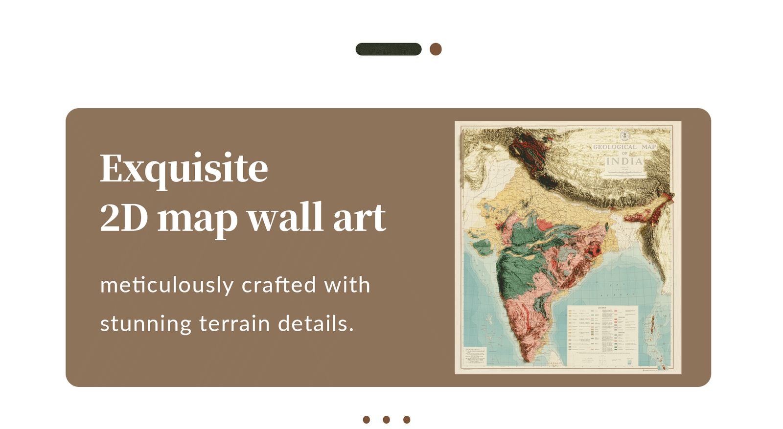
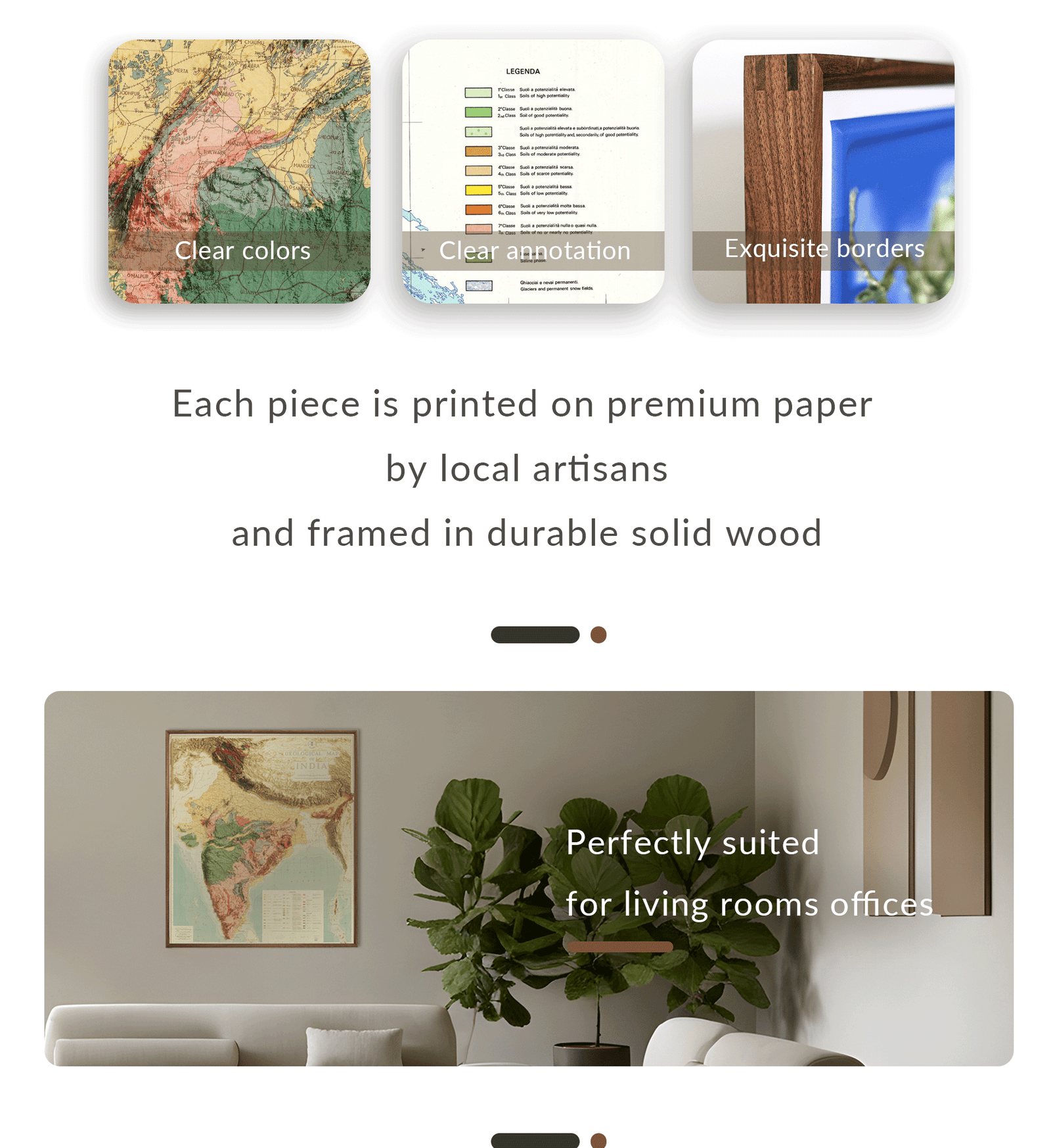
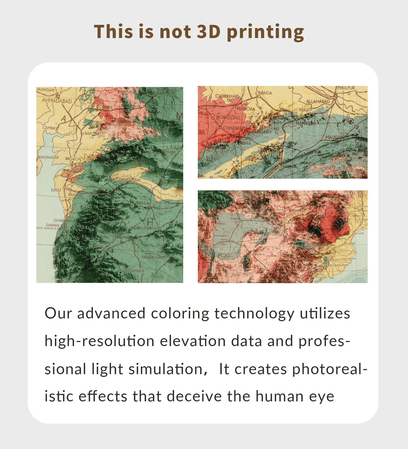
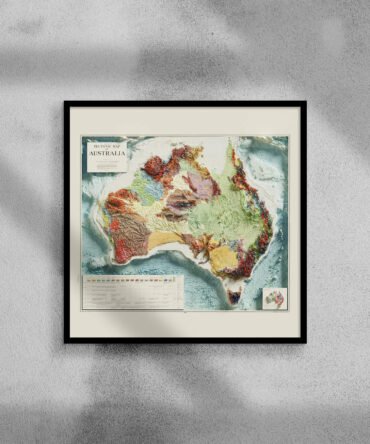
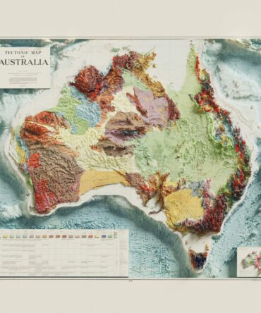
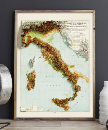
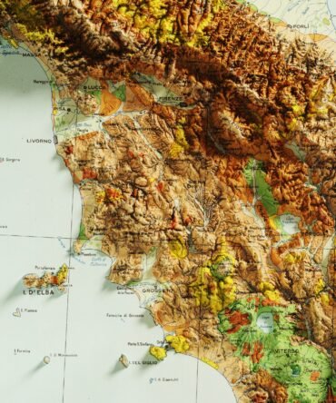
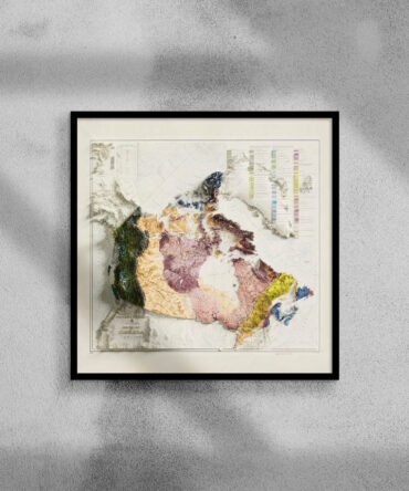
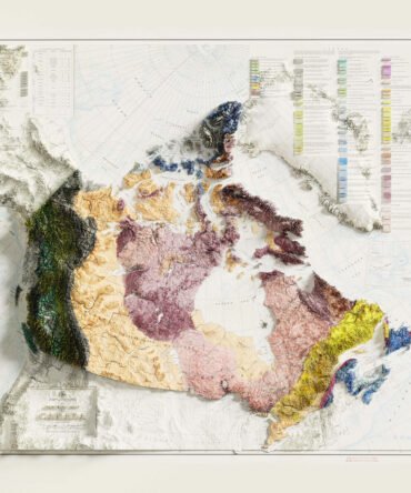
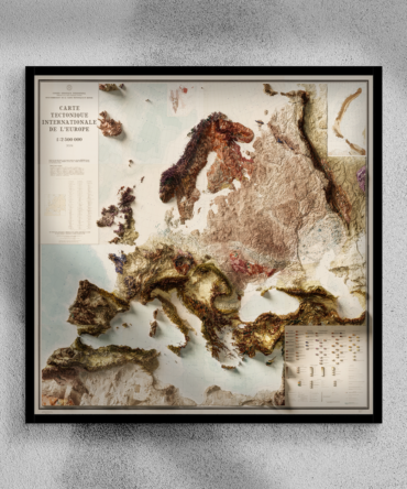
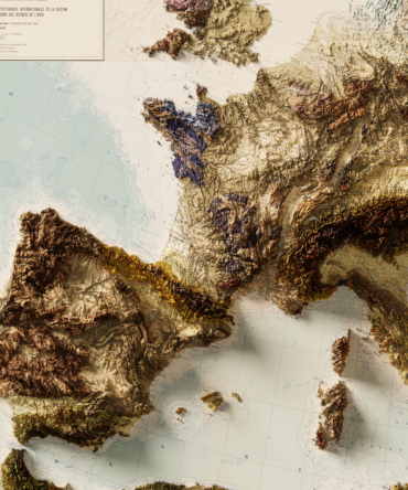
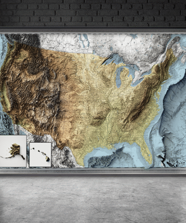
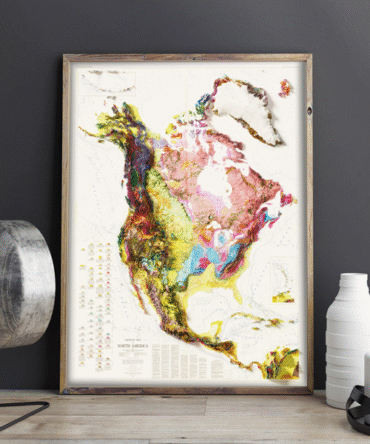
Discover the diverse terrain of India through this meticulously restored vintage elevation map. Though printed in 2D, our reproduction uses advanced colorization and lighting simulation techniques—based on high-resolution elevation data—to create the illusion of depth and topography, bringing the subcontinent’s dramatic geography to life.
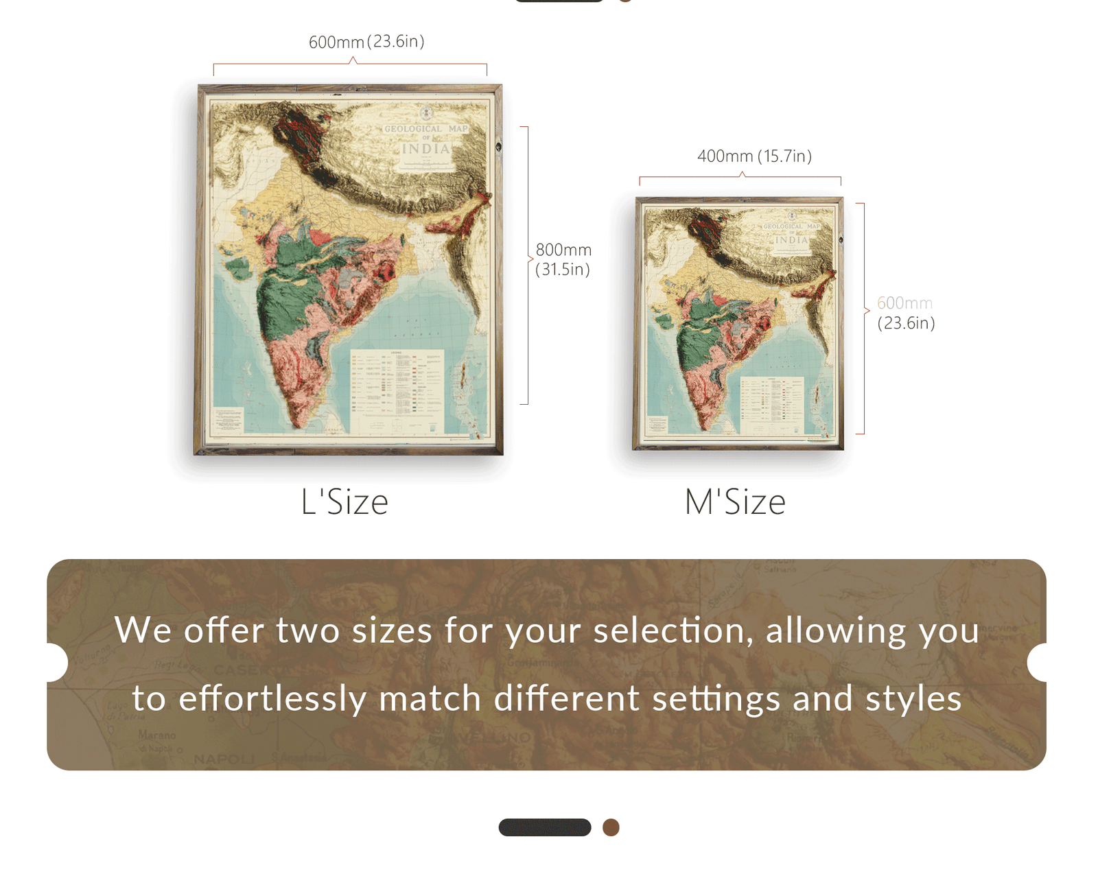
Expertly crafted with a focus on visual realism and design, this map blends antique cartographic style with modern artistry, making it an elegant addition to any study, office, or living space.
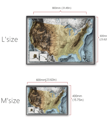
• Museum-quality detail and print clarity
• 30 Day Returns


Reviews
There are no reviews yet.