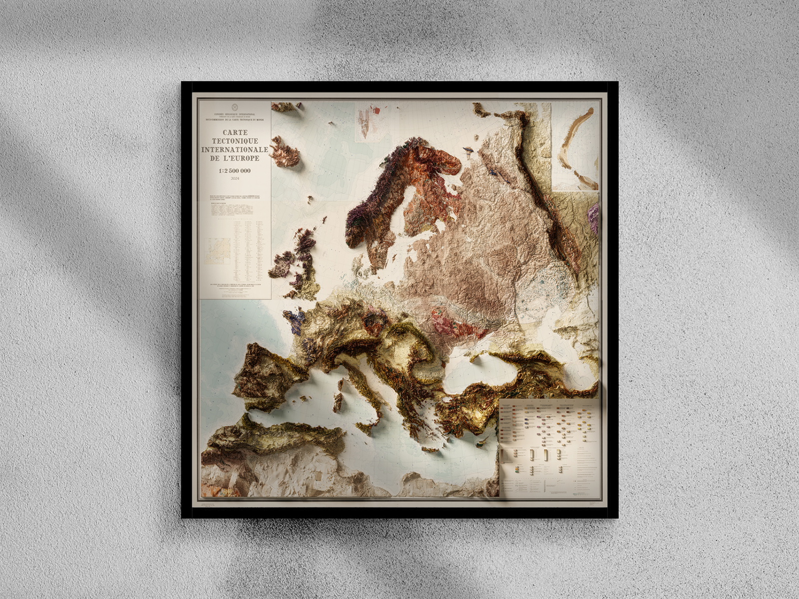
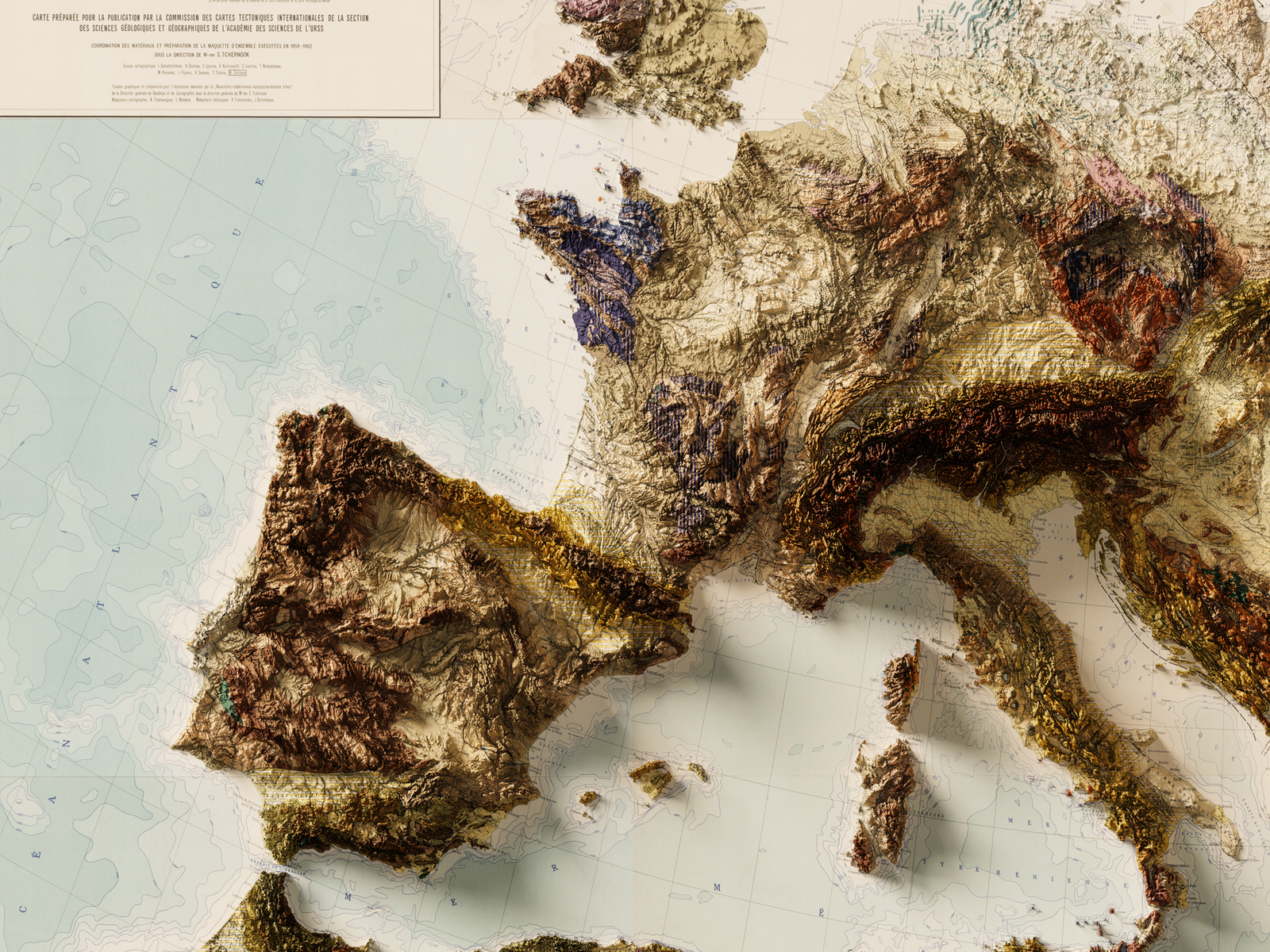
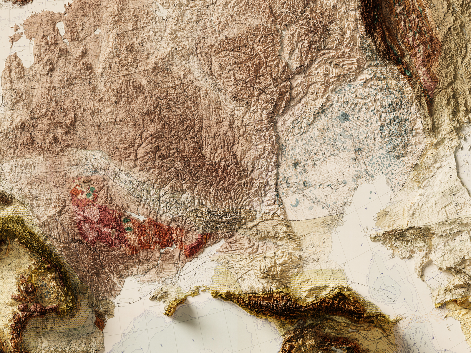
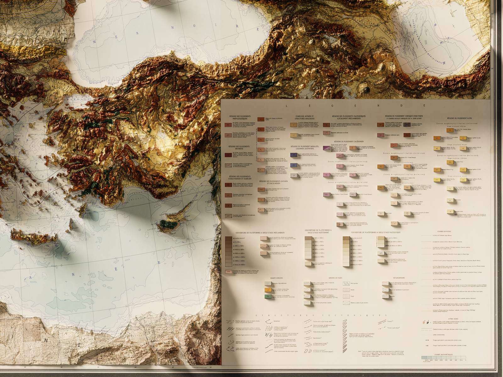
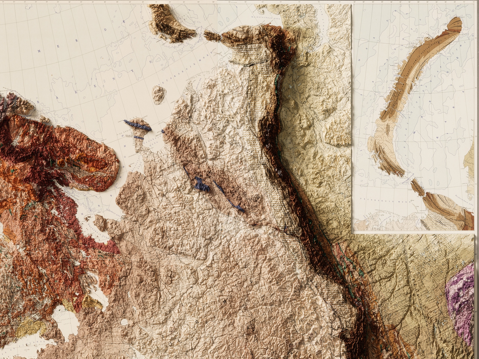
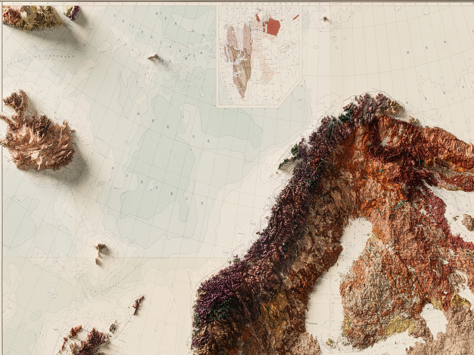
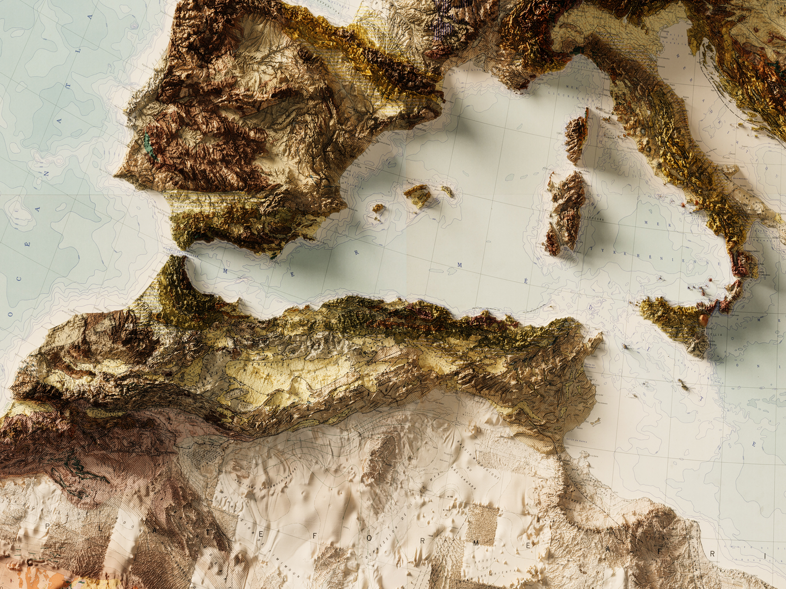
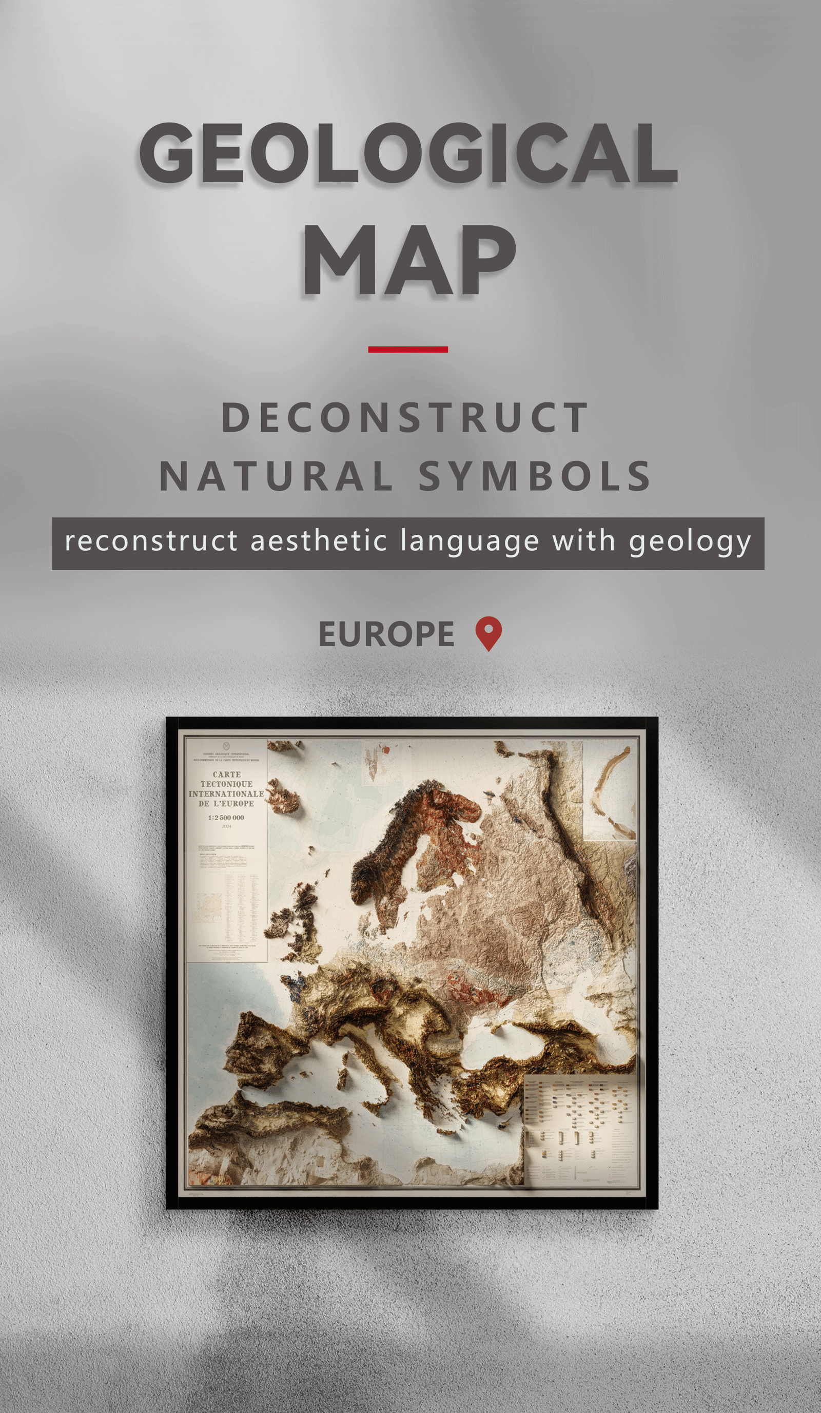
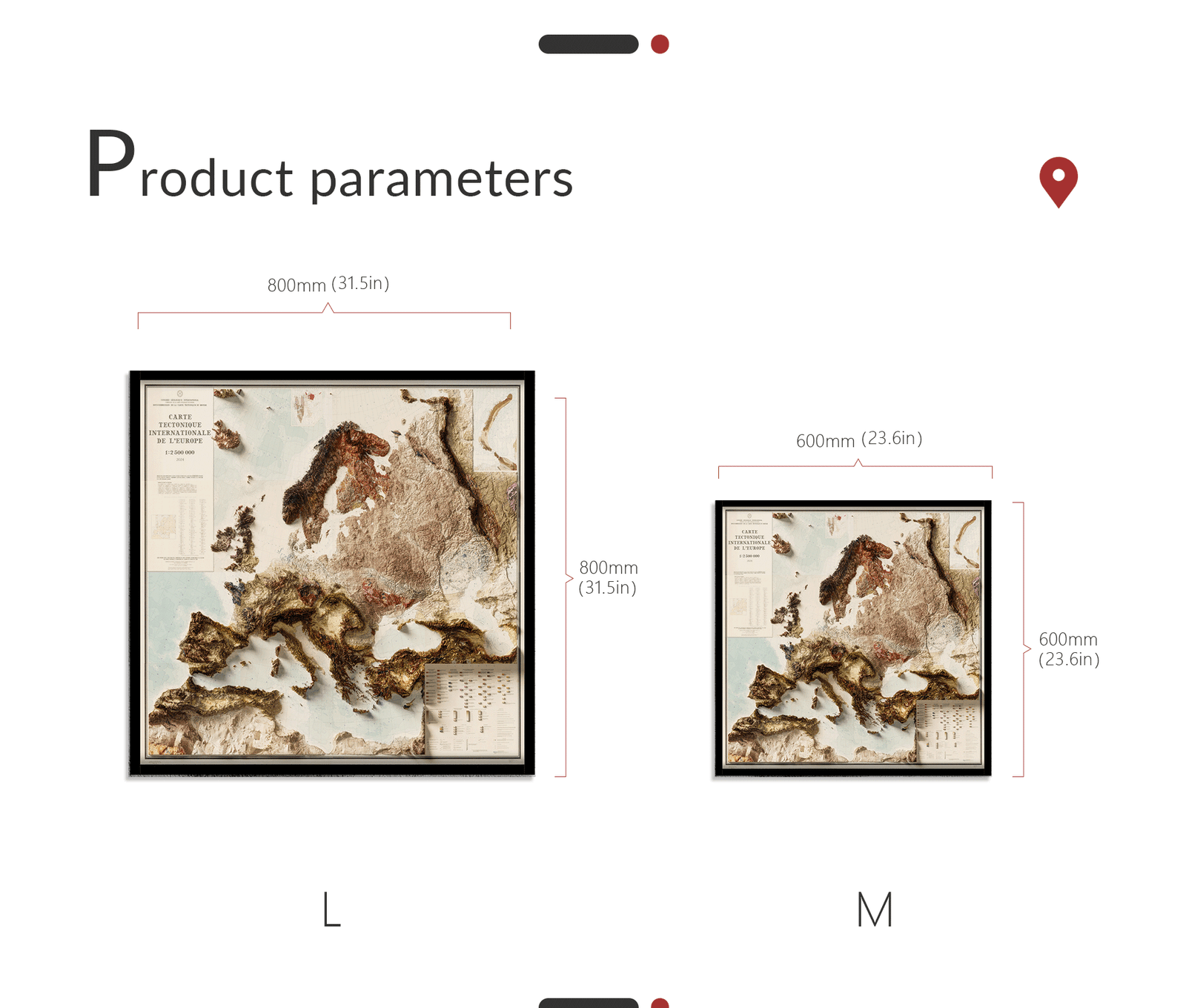
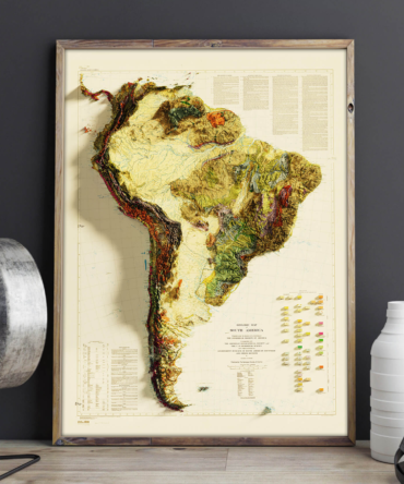
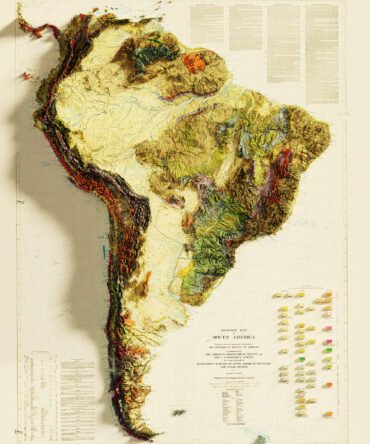
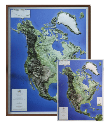
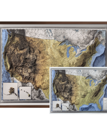
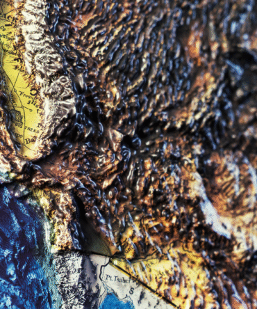
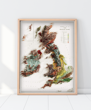
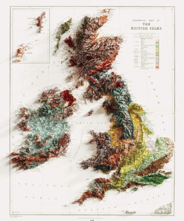
Discover the geological diversity of an entire continent with our 2D Geological Map of Europe. This scientifically accurate poster highlights Europe’s tectonic plates, mountain ranges, sedimentary basins, and volcanic zones in vibrant color and fine detail.
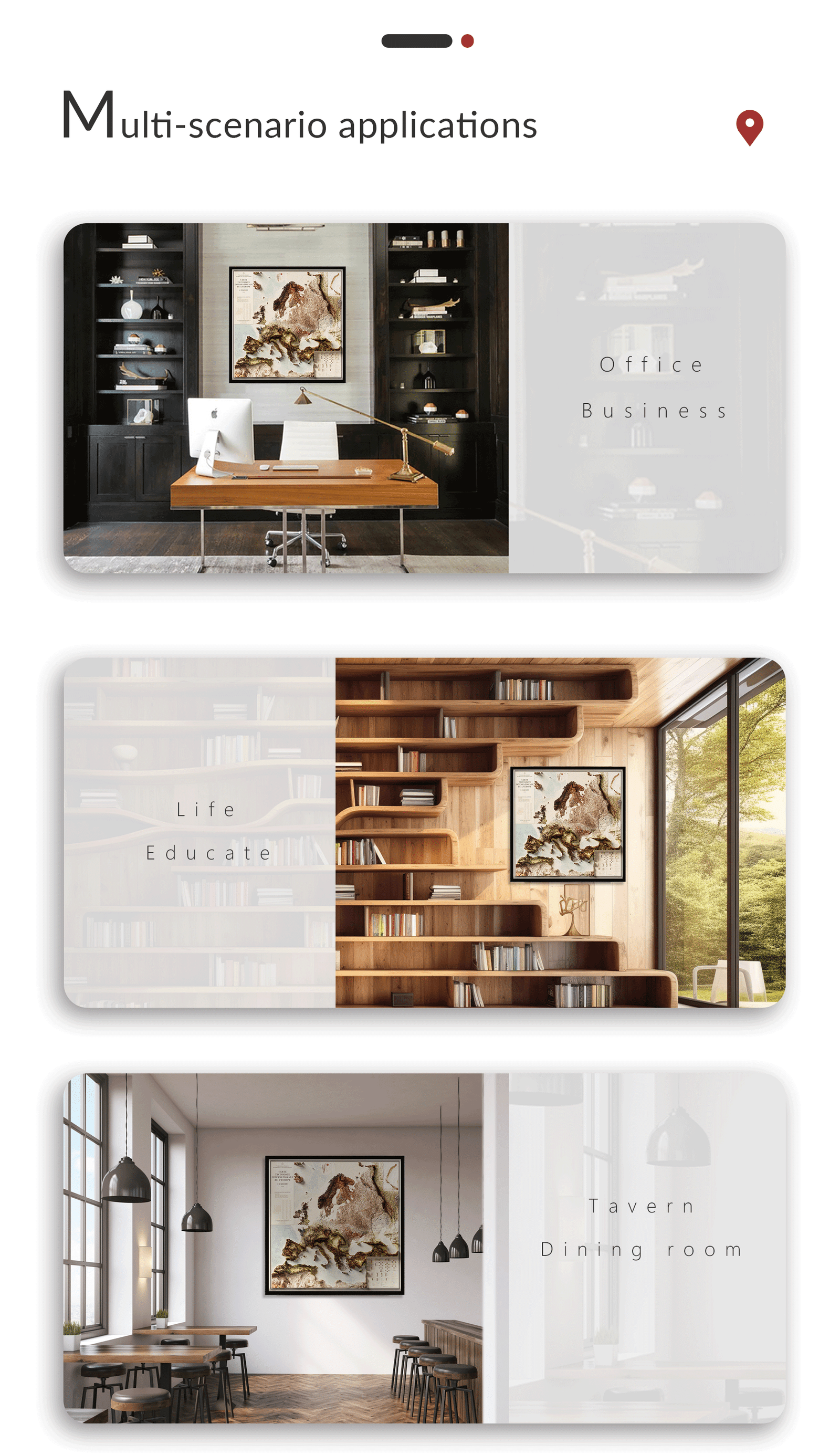
Ideal for teachers, students, scientists, and map collectors, this 2D geological map serves both as a powerful educational tool and as a stunning wall display. Whether in classrooms, offices, universities, or libraries, it sparks curiosity about Earth science and geography.
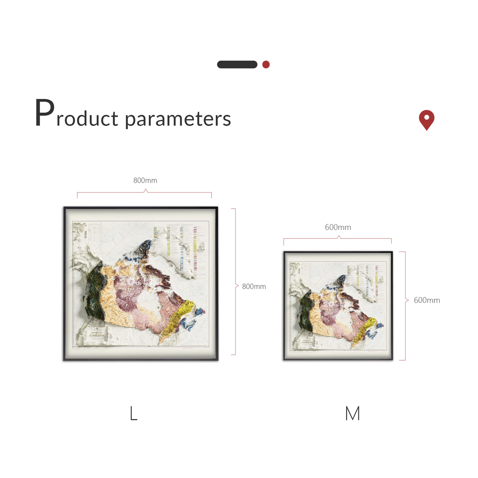
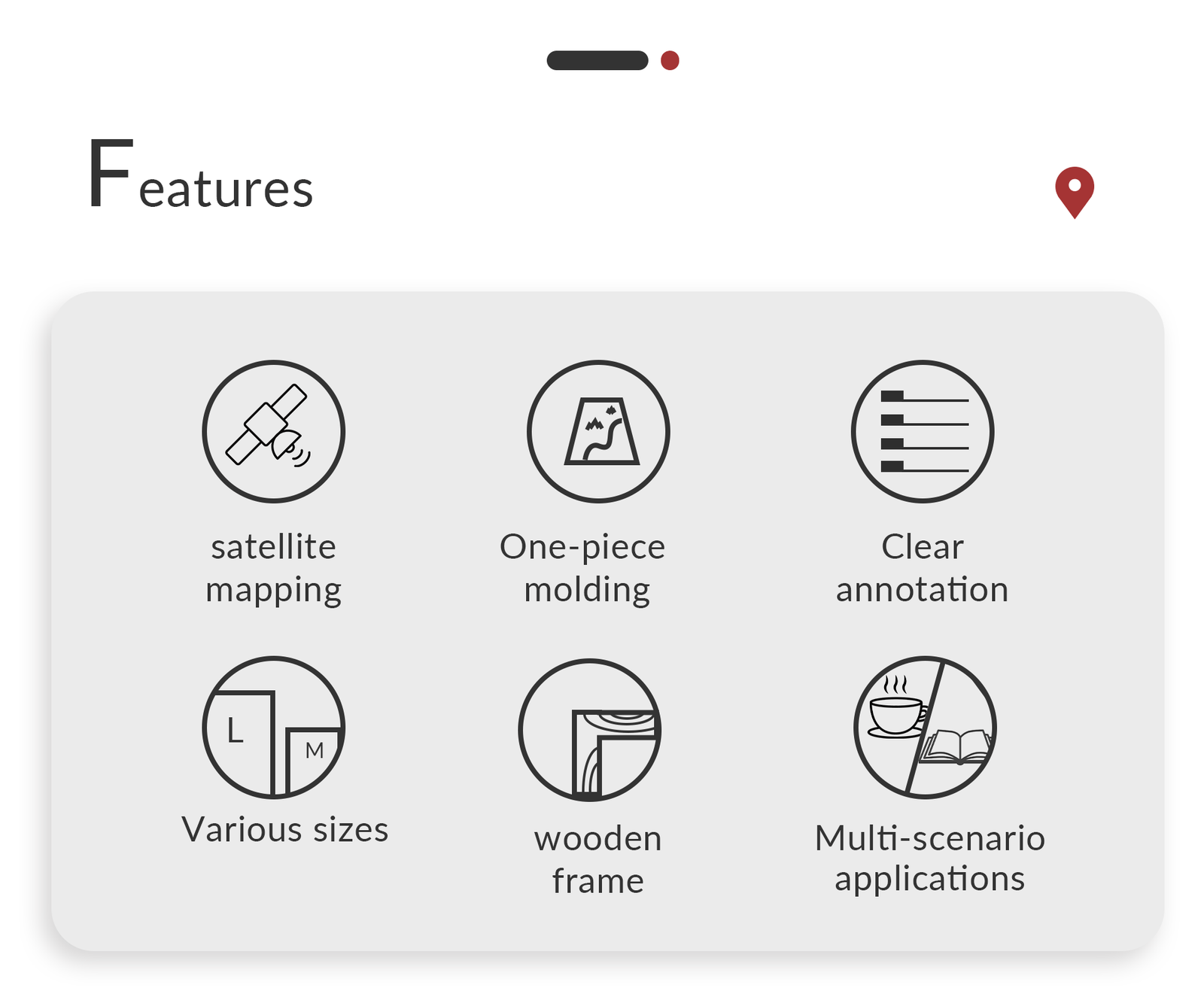
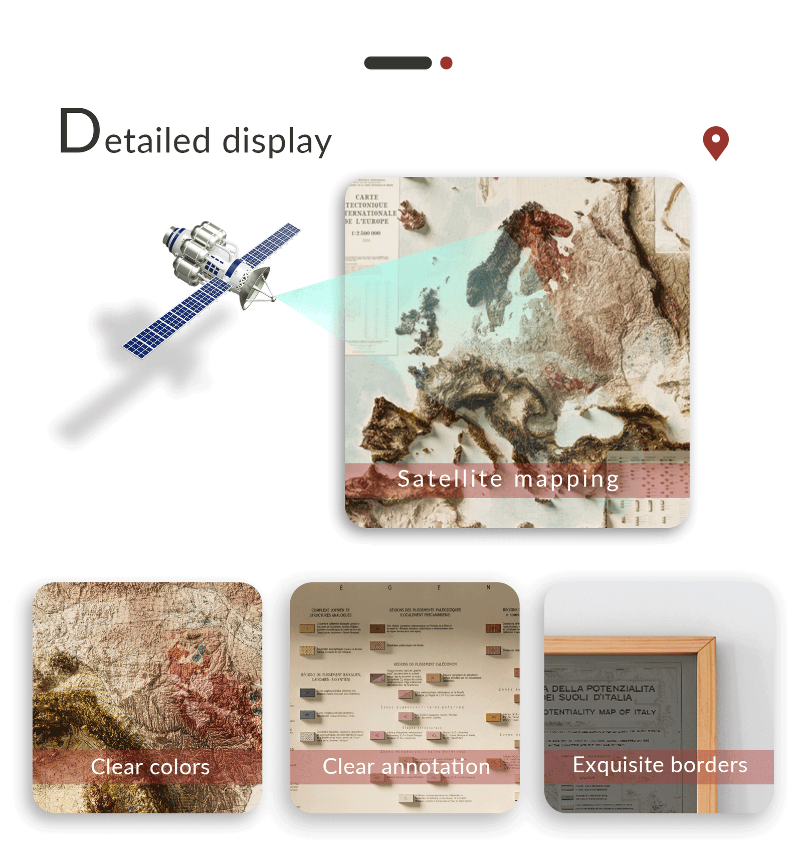
✅ Features:
-
Precise and up-to-date geological data
-
High-resolution print for clarity and readability
-
Suitable for framing or pinning
-
Perfect for Earth science education and wall decoration
-
A thoughtful gift for geologists, travelers, or academics
🎁 Great for:
STEM classrooms, homeschoolers, earth science displays, European geography lovers.
Customer Support & Customization
If you have any questions, please don’t hesitate to contact our customer service team at Alston@hfengye.com at any time. During peak periods, response times may be slightly delayed due to a high volume of inquiries. We greatly appreciate your patience and will address your request as promptly as possible.
If you encounter any issues with the product you received, please reach out to us immediately at Alston@hfengye.com. We are committed to resolving the problem and ensuring your satisfaction. We kindly request that you allow us the opportunity to assist you before leaving negative feedback.
For special requirements, we offer personalized customization services. Feel free to share your ideas with us at Alston@hfengye.com, and we will strive to meet your needs with tailored solutions.
Reviews
There are no reviews yet.